|
|
|
Advertisements:
Administrative divisions (207 GPS Maps)
Comments
Add a new comment: |
Advertisement
Members area
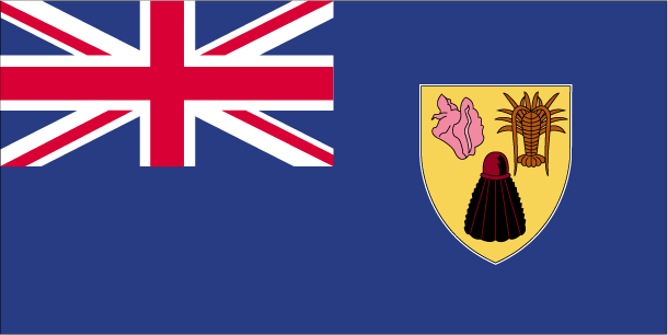
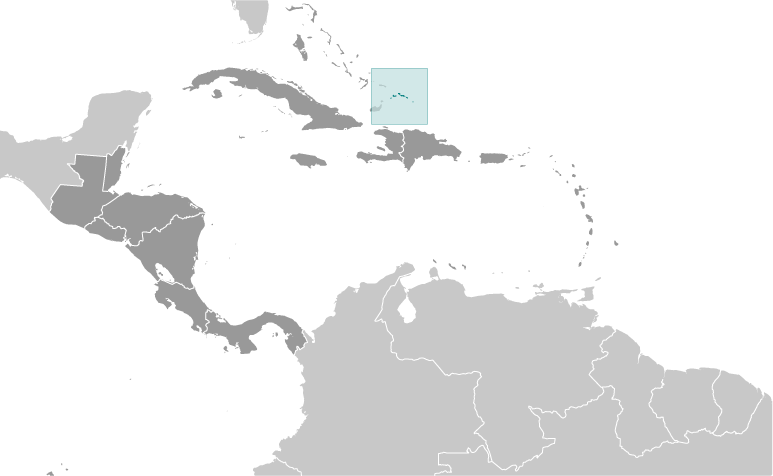
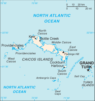
Turks And Caicos Islands [ United Kingdom ] (Overseas Territory):
GPS points from Turks And Caicos Islands [ United Kingdom ] (Overseas Territory)
|
||||||||
 The islands were part of the UK's Jamaican colony until 1962, when they assumed the status of a separate crown colony upon Jamaica's independence. The governor of The Bahamas oversaw affairs from 1965 to 1973. With Bahamian independence, the islands received a separate governor in 1973. Although independence was agreed upon for 1982, the policy was reversed and the islands remain a British overseas territory.